I wasn’t sure where I wanted to go after walking the Chickadee trail, but as I approached the overlook parking lot, I turned in. It has been awhile since I stopped there. This time I actually looked at the map and realized that the lakes and marsh (where I got lost last year) are directly across from the outlook and are not far. The paved trail there goes to the lakes and circles back. It is a 7.2 km walk, so I wasn’t going to do that today, but it is on the list for my next walk.
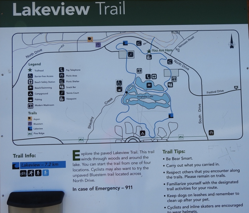

The first photo shows the whole map and the 2nd one is zoomed in to the actual lakes position from where I am (at the top, where it says you are here on the map. 🙂 Just below is the trees in between the overlook & the lakes/marsh.
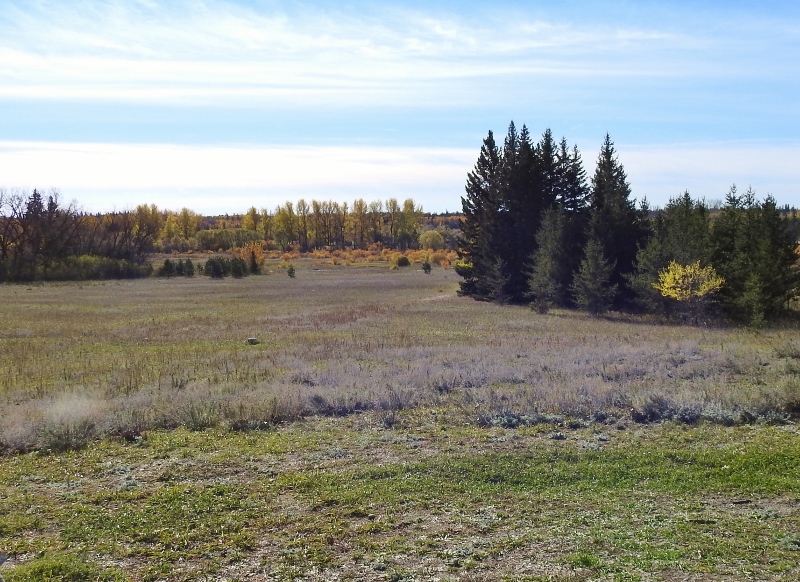
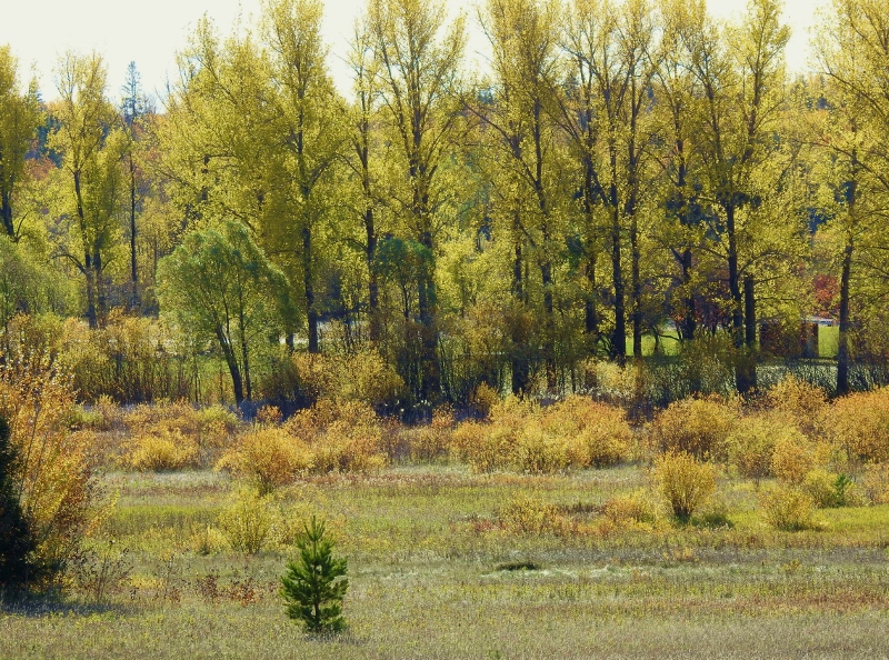
The left photo is from the lookout point and the right photo is from the same spot, but zoomed in on the trees in the back centre. On the zoomed in photo, I can see a couple of buildings – might be washrooms. I’ll have to find out when I return to walk the trail.
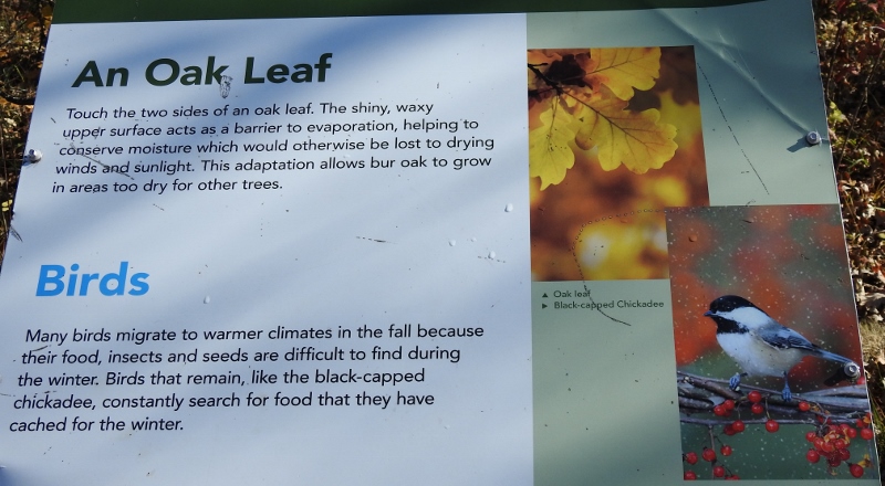
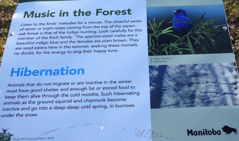
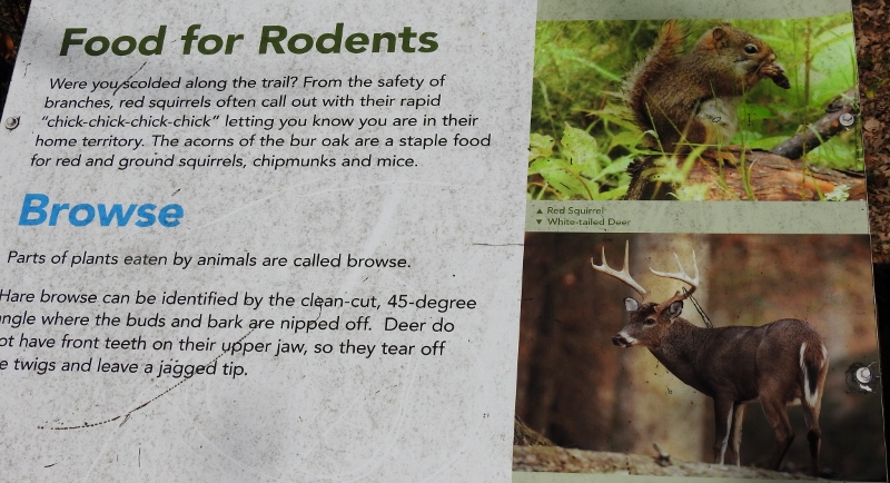
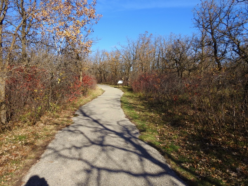
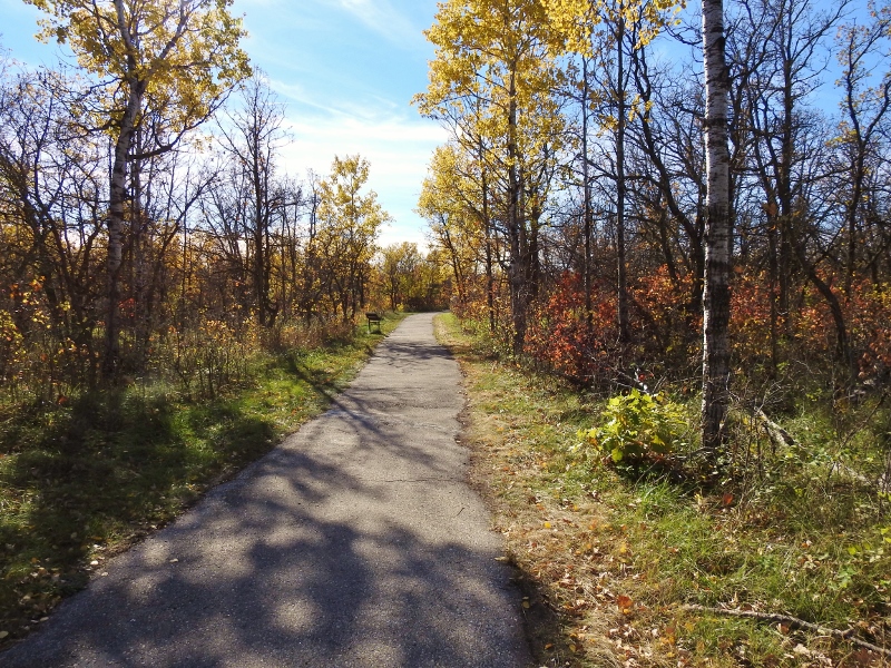
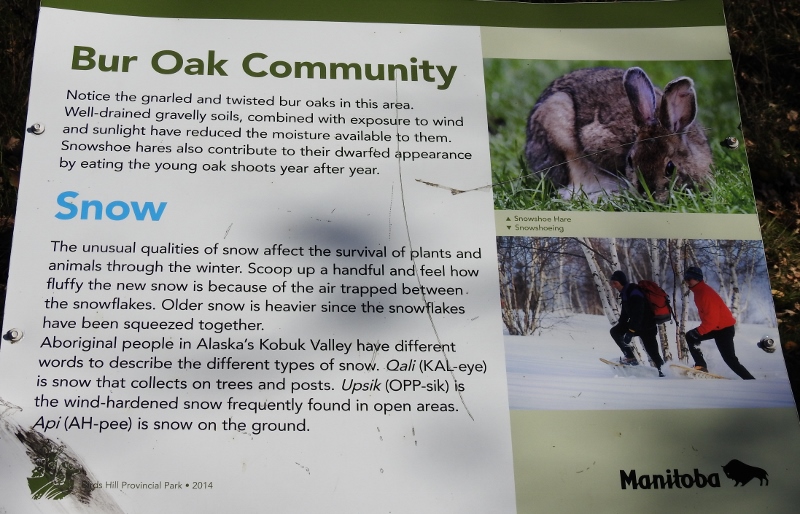
After I left the lookout, I noticed a sign for the Bur Oak Trail. I have never driven into there and had no idea how long this trail was, so I drove in to find out. I had no idea what to expect, but it turned out to be a very easy 1 km level trail – and it was paved. I didn’t see any wildlife, but there were quite a few information signs along the way. Of course, I took photos of the signs, so we know what we missed seeing.
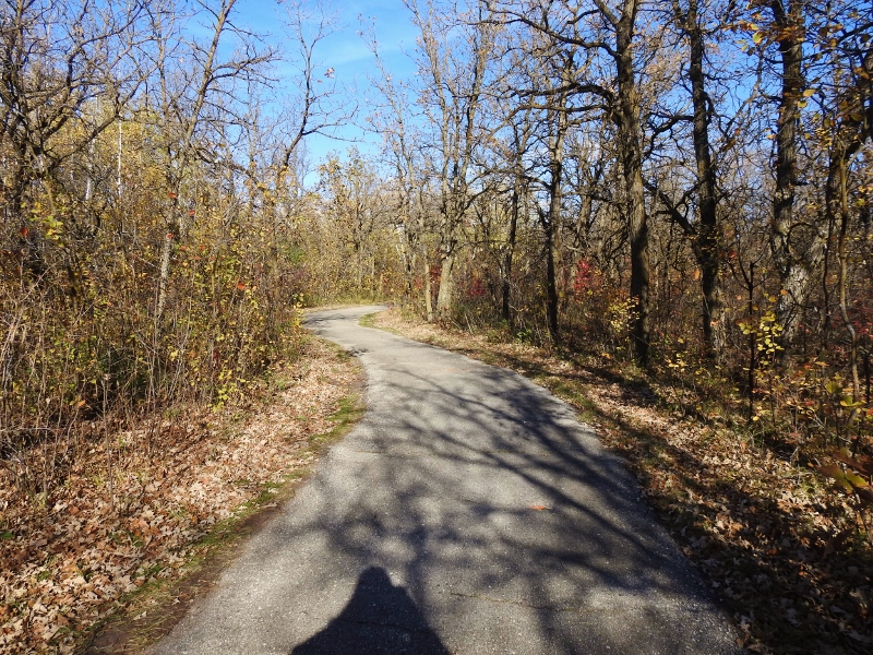
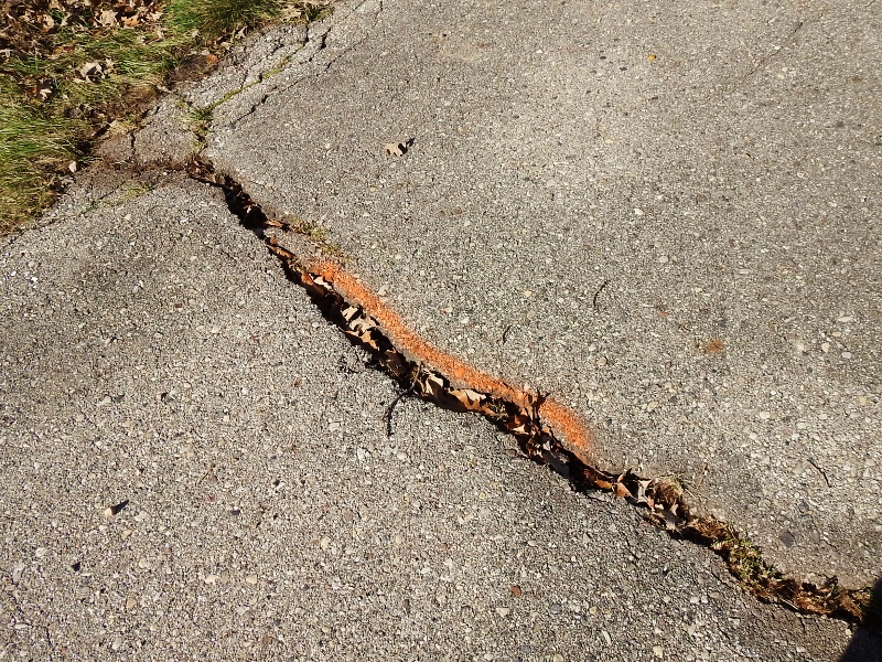
The paved trail wasn’t in great shape, but they have it marked to be fixed. 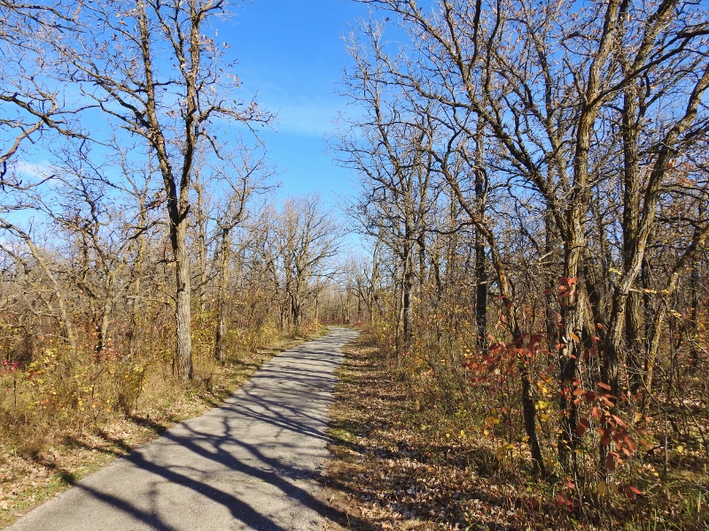
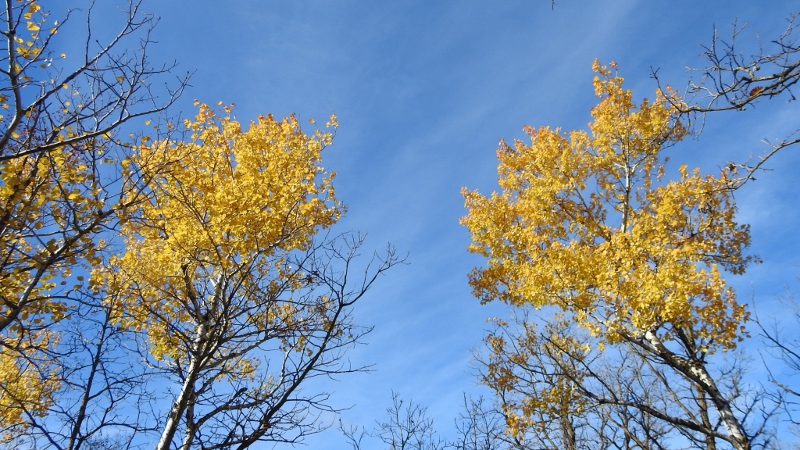
The Oak Trees have pretty much lost all their leaves. 


After leaving this trail, I headed back to Winnipeg – making one more stop at Bunn’s Creek.
