It was a beautiful morning today, so after a large and very yummy breakfast at Cork & Flame I decided to drive over to Bunn’s Creek. Tomorrow the winter weather is forecast to return for a few days. But first – my breakfast!

At first it appeared as if all the ice on the creek had disappeared, but it didn’t take long until I found some. I didn’t find a lot of ice, but there were spots where it was still holding on.

Little bit of ice here. 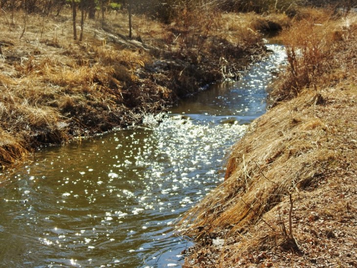
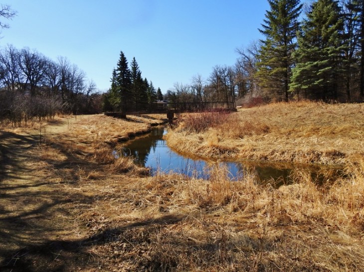
A bit of movement showing with the water sparkling in the sun 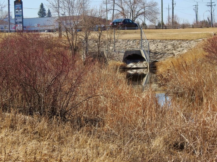
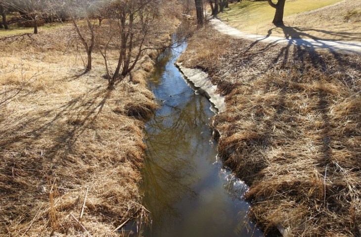
I followed the creek all the way to the culvert shown in the last photo, but I couldn’t find out where it comes out. I walked over the culvert and along to another park, but when I couldn’t see any sign of it I turned back. This is the furthest I have gone in this direction, but I didn’t expect it to disappear underground.
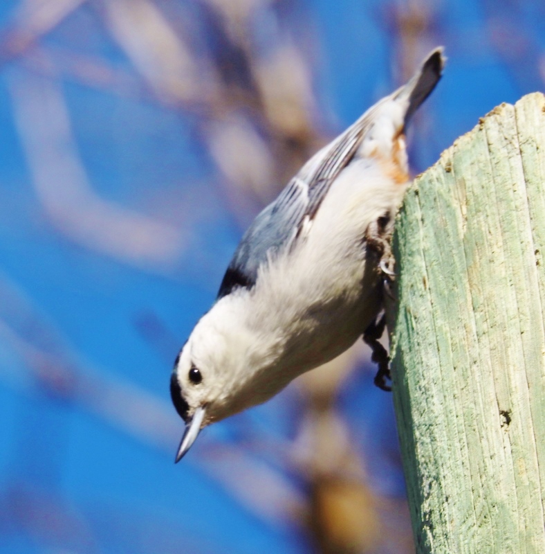
On my way back I found this White-breasted Nuthatch on top of a pole. He moved just as I clicked to take the photo but thought I’d show him to you anyway.
I walked past my starting point where the car was parked and continued along the path beside the creek – taking a couple more photos of the water.
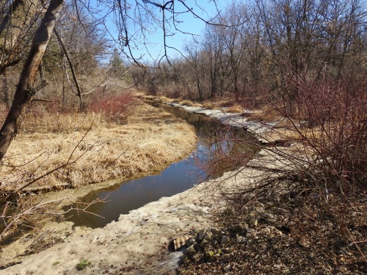
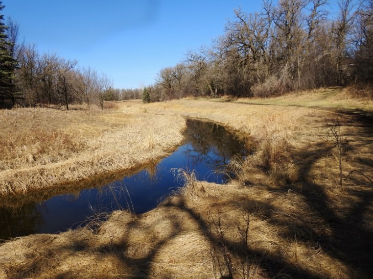
This part has the most ice I found 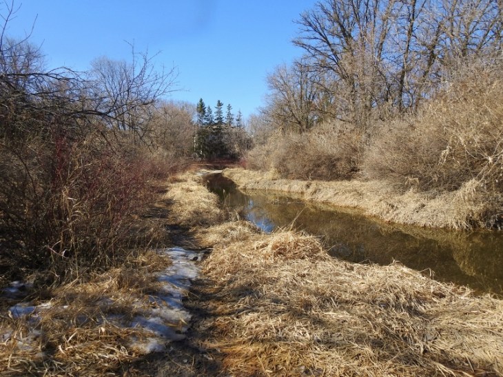
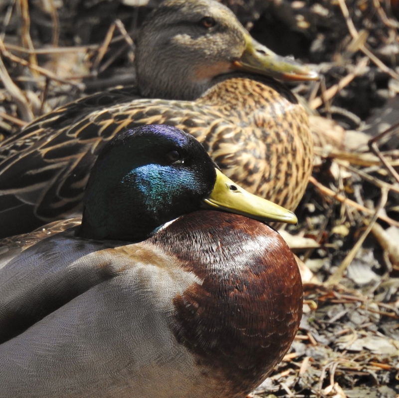
I then found a pair of Mallard Ducks, who nicely posed for a couple of photos.


I was almost back to the parking lot when I saw a Muskrat swimming in the creek. I managed a decent shot of him (or her).

It is after 2pm here now and I am not even a little bit hungry after that huge breakfast this morning. My FitBit tells me I’ve already walked a little over 6 miles today and I still have time to walk more.

The culvert continues and pops up and down a couple of times between Gateway and Raleigh…and then “into” the large retention pond on the other side of the stores seen in the photo(actually the reverse since the pond drains into the creek!). It then continues all the way from Kilcona Park!! Most(all?) of it is man made to provide drainage from Kilcona and the Chief Peguis Retention Pond to the Red River. Ancient history: the waste water from the Cordite Plant in Transcona from World War 2 used to drain eventually into Bunns too. And Cordite Ditch still runs along Cordite Road way far into Transcona…and that all runs into Bunns too!I can’t post a copy of the map where I highlighted the drainage system, but google an address near Bunn’s park, and greatly enlarge the map and you should be able to trace the whole drainage system. This is a big reason why the city is concerned when the beavers in Bunn’s build up the dam so much that the creek backs up…and makes the whole area sensitive to flash flooding. Side note: have you ever been near Bunn’s in spring when there is a risk of the Red River flooding……I have seen parts of Bonner Avenue completely flooded from the creek…real scary since I only live a few blocks from the creek. Sorry if this is way too much information and maybe a bit of urban legend!
LikeLiked by 1 person
Wow – thanks for all the information – I had no idea. I just started going to Bunn’s Creek last fall so haven’t been there at flood time (and this year I don’t expect a flood anywhere in Manitoba). I’ll check out the map to follow what you’ve told me here. 🙂
LikeLike